
What Is the Difference Between Frost and a Freeze?
The terms frost and freeze are often used interchangeably but they describe different things. Frost refers to the deposit of ice crystals that forms on surfaces when the surface temperature drops below the frost point: the temperature at which water vapor will deposit directly as ice rather than first condensing as liquid. A hard freeze refers to air temperatures sustained below 28°F (-2°C) for several hours, which causes widespread damage to plant tissue and creates pipe and road hazards.
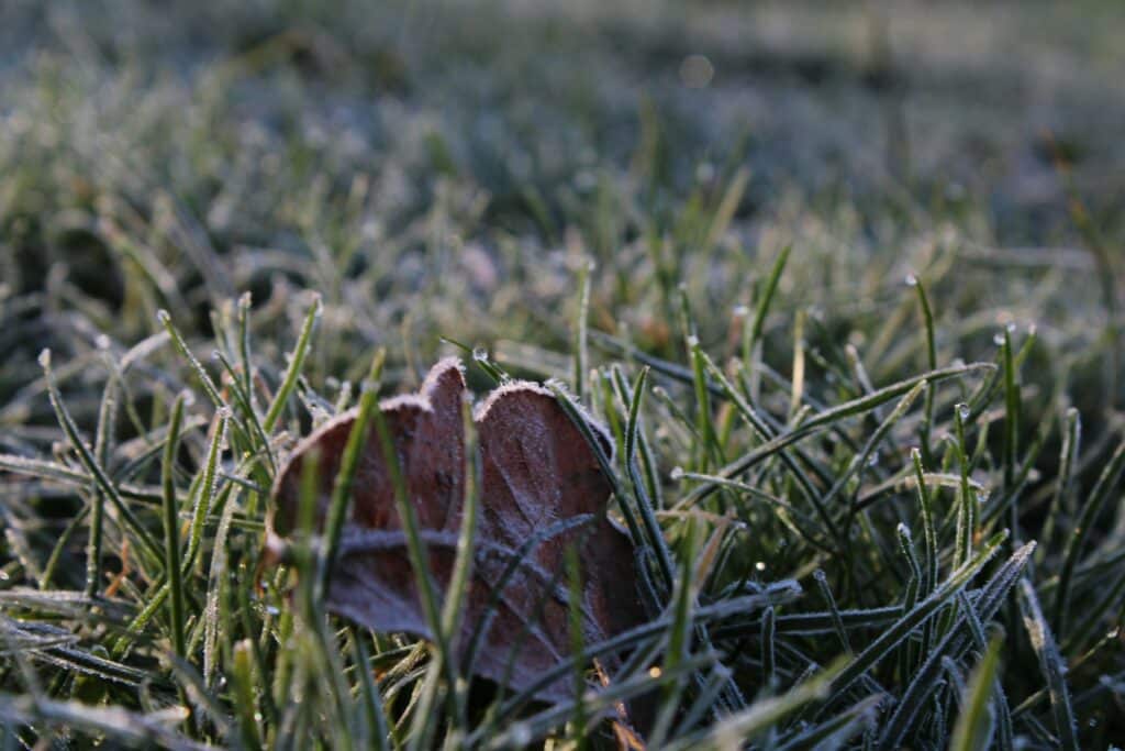
You can have frost without a freeze. On calm, clear nights with high humidity, ground-level and surface temperatures can drop several degrees below air temperature due to radiative cooling. Grass, metal surfaces, and low-lying areas can experience frost even when your thermometer reads 35°F or 36°F. This is why official frost warnings are sometimes issued when air temperatures appear to be well above freezing.
Use our frost risk calculator alongside this tool for complementary analysis. The frost risk calculator focuses on the probability of frost by morning while this predictor gives you real-time guidance on what to do based on current conditions.
Why Surface Temperature Matters More Than Air Temperature
Air temperature is measured in a weather shelter at 1.2 to 2 meters above the ground, shielded from direct radiation. The ground surface you’re actually concerned about, like your lawn, your garden beds, and your car windshield, can be dramatically colder on calm, clear nights.
On a clear, calm night with low humidity, grass temperature can be 4 to 8°F (2 to 4°C) colder than screen temperature. Metal surfaces cool even faster due to their high emissivity. This is why gardeners sometimes lose plants to frost on nights when the official low temperature was reported as 35°F.
Wind is the main factor that reduces this surface-to-air temperature gap. When wind mixes the air, warmer air from higher up gets brought down to ground level, reducing the cooling effect. A wind speed of just 10 mph can eliminate most of the surface cooling effect that causes frost on calm nights.
Monitoring temperature with a home weather station at ground level gives you much more useful frost warning data than official forecasts based on shelter temperatures.
Protecting Plants from Frost and Freeze
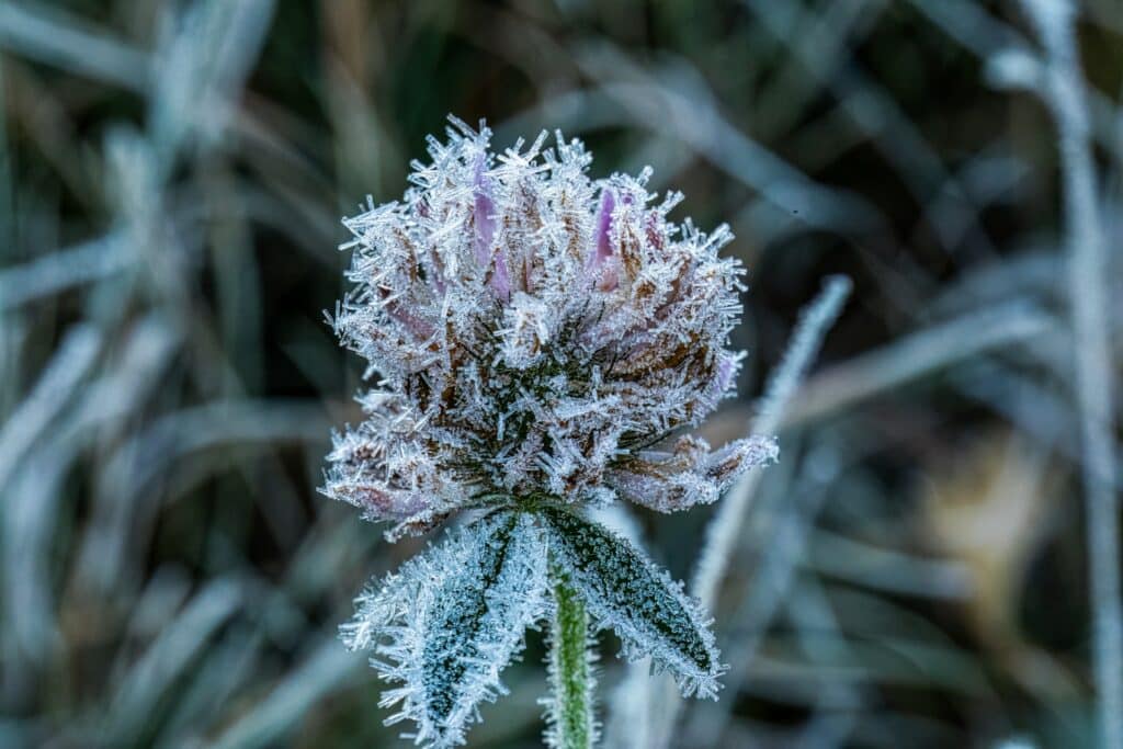
The damage threshold varies significantly by plant type. Tomatoes and basil begin suffering cell damage at 32°F: a single frost night can kill an entire crop. Hardy perennials like lavender and ornamental grasses can withstand temperatures well below 20°F without damage.
The night before a predicted frost: Move potted plants and containers indoors or into a greenhouse. Water garden beds thoroughly, since moist soil holds heat better than dry soil and releases it slowly through the night, keeping surface temperatures slightly warmer.
The evening of a frost: Cover frost-sensitive plants with frost cloth, old bedsheets, or newspaper. Avoid plastic sheeting directly on foliage as it conducts cold rather than insulating. Remove covers the following morning once temperatures rise above freezing.
For hard freeze events: Disconnect and drain all garden hoses. Shut off outdoor irrigation systems and blow out the lines if possible. Wrap exposed pipe sections with insulation. Let interior faucets on exterior walls drip slowly to keep water moving.
Road and Vehicle Safety in Freeze Conditions
Black ice, which a thin, nearly invisible layer of ice on road surfaces, forms when surface temperatures drop below freezing while the air temperature may still read above 32°F. Bridges, overpasses, and shaded road sections are particularly vulnerable because they lose heat from both above and below, cooling faster than road surfaces that have ground warmth beneath them.
If overnight temperatures are predicted to approach freezing, allow extra travel time in the morning. Roads that appeared dry the night before may have developed ice patches overnight. Reduce speed and increase following distance on any bridge or overpass even if the main road surface looks clear.

Reviewed by Ed Oswald
Lead Reviewer, Weather Station Advisor
Ed has covered consumer technology and weather instruments for Digital Trends, PC World, and the New York Times for over 20 years. He has personally tested every station recommended on this page.